
Understanding Luquillo weather before choosing a day out
Luquillo weather planning needs two different kinds of information: climate patterns for choosing a travel period and a current forecast for deciding what to do today. Long-term monthly averages describe the background, not the timing of a shower or the condition of a river. The coast and the El Yunque mountains should also be treated separately. For a particular mountain path or swimming location, consult the current local guidance.
The monthly figures here are NOAA normals for the San Juan Luis Muñoz Marín airport station, reference period 1991 to 2020, from the summary generated on 24 July 2025. They are a coastal comparison for planning, not local Luquillo beach measurements or El Yunque mountain readings. Use them to understand the broad temperature and rainfall pattern. For choosing dates rather than reading individual figures, see the seasonal travel guide.
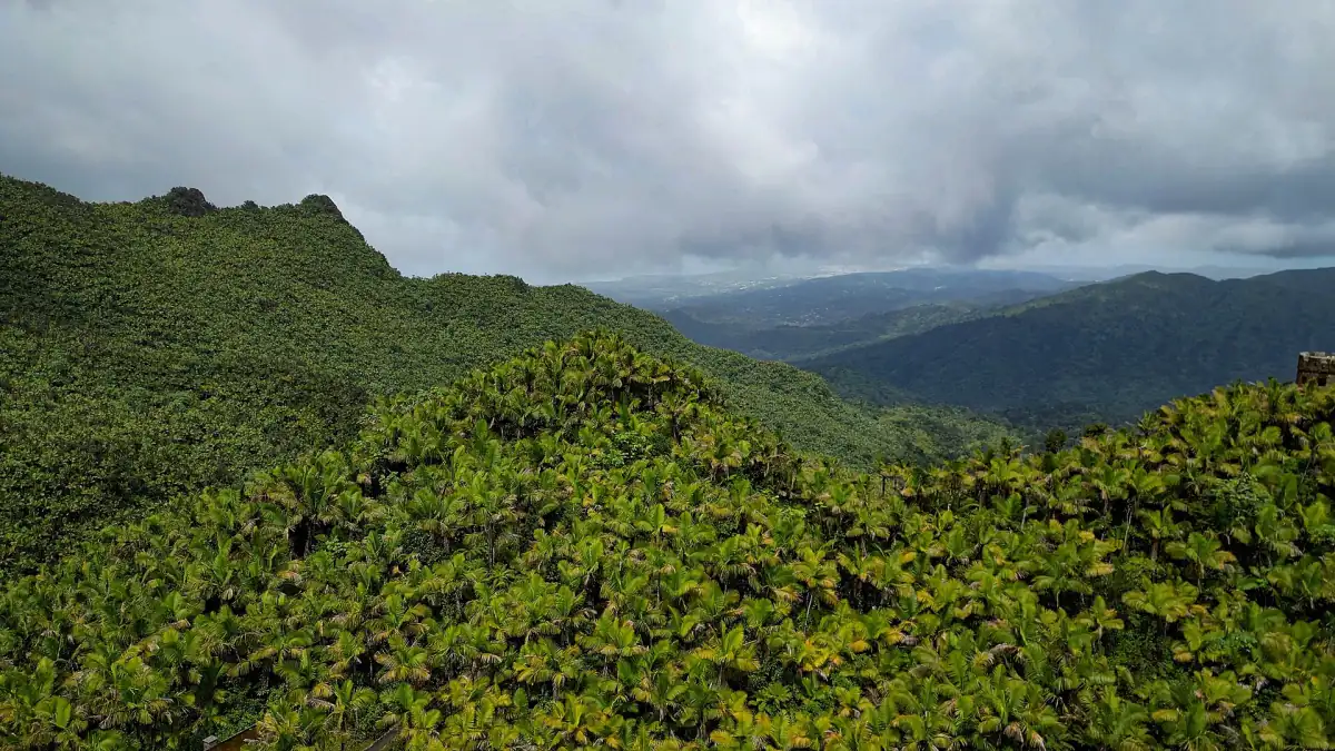
Monthly temperatures and rainfall: the coastal comparison
The maximum and minimum columns are monthly means of daily high and low temperatures. They describe average temperatures rather than record extremes. Rainfall is the normal monthly total, not a prediction for your travel dates. A monthly total does not show how that rain is distributed across the days of a particular visit; use the current forecast when arranging an excursion.
Keep the station label with the numbers when comparing months. The San Juan airport series gives a consistent coastal reference, while your practical decisions in Luquillo still depend on current local conditions. Do not substitute these airport values for a mountain forecast or interpret them as the water temperature. Their role is to put the seasons in context before you turn to the day’s weather and safety information.
| Month | Mean daily maximum °C | Mean daily minimum °C | Monthly precipitation mm |
|---|---|---|---|
| January | 28.4 | 22.2 | 103.4 |
| February | 28.8 | 22.1 | 65.5 |
| March | 29.3 | 22.4 | 55.4 |
| April | 30.1 | 23.3 | 116.8 |
| May | 30.8 | 24.3 | 140.7 |
| June | 31.7 | 25.1 | 118.4 |
| July | 31.5 | 25.3 | 152.9 |
| August | 31.7 | 25.4 | 159.8 |
| September | 31.8 | 25.3 | 165.1 |
| October | 31.4 | 24.8 | 132.3 |
| November | 30.1 | 23.8 | 187.2 |
| December | 29.0 | 22.9 | 123.2 |
Our pick: guided rainforest outing
This guided trip includes transport from a fixed San Juan meeting point for an outdoor day.
Hand-picked tours, booked through GetYourGuide. Prices are indicative starting prices in US dollars (as of October 2026). Tap a tour for live availability and the current price in your currency.
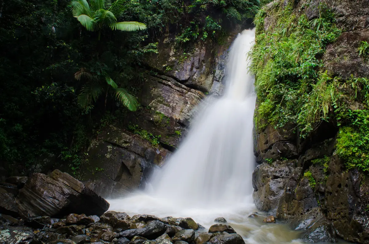
A rainforest outing with a fixed San Juan meeting point
Transport to and from Norte Shopping Center in San Juan, a guide and life jackets are included. River activities remain dependent on the day’s conditions.
Regional rain phases and hurricane season
The NOAA regional climate summary issued in 2025 describes December to March as the dry season, April and May as the early rainy season, June and July as a relatively drier interval, and August to November as the later rainy season. These regional phases are useful when comparing dates. They do not promise a rain-free visit or explain the exact conditions at every point along the coast and in the mountains.
The Atlantic hurricane season runs from 1 June to 30 November. The National Hurricane Center places the climatological peak around 10 September, with especially strong activity from mid-August to mid-October. Tropical cyclones can occur outside the official dates too. Follow current advisories when planning a journey or excursion, and keep the transport arrangements flexible enough to respond to guidance. A seasonal pattern is not a storm forecast for a booked day.
Sea conditions, rip currents and water quality
For Luquillo beach weather, a clear sky is only part of the picture. The NWS surf-zone forecast distinguishes low, moderate and high rip-current risk. Dangerous currents remain possible at low risk; moderate risk means life-threatening currents are possible, while high risk means they are likely. Read the current local category rather than attaching one of these labels permanently to a season. La Pared is a surf location with strong currents and should not be treated as a general swimming beach.
Water quality is a separate daily consideration. The DRNA notice of 26 October 2026 identified La Monserrate as unsuitable for bathing using samples from 19 and 20 October. The subsequent notice of 30 October used samples from 26 October. These are dated observations, not a swimming clearance for your visit. Follow the current beach guidance and posted advice. Sargassum conditions likewise need a current check; climate averages do not establish how much seaweed is present on a particular shoreline.
Rainforest rivers and the final activity decision
The Forest Service warns of unexpected flash floods at Angelito. Treat river conditions as a separate decision from the appearance of the beach or the temperature in town. Stay on marked paths, use shoes with grip, secure valuables and take litter away. A life jacket included in a guided outing does not make river activities independent of weather or water levels. Follow the day’s safety instructions instead of using a monthly average as permission to enter the water.
The featured excursion uses a fixed meeting point at Norte Shopping Center in San Juan and includes return transport, a guide and life jackets. Arrange your journey to that meeting point separately if staying in Luquillo. For activities with a local meeting point or an optional pickup, use the El Yunque tour guide. Make the final choice from the forecast, warnings and access guidance for the actual route, rather than assuming all forest outings share the same conditions.
Frequently asked questions
Are these measurements from Luquillo?
They are NOAA normals for the San Juan airport coastal comparison station, reference period 1991 to 2020. They are not Luquillo beach or El Yunque mountain measurements.
Does low rip-current risk mean safe swimming?
Dangerous currents remain possible even at low risk. Follow the current forecast and local advice.
Does the tour include hotel pickup in Luquillo?
This excursion includes transport from and back to its fixed Norte Shopping Center meeting point in San Juan, a guide and life jackets.